The geological history of the Great Lakes is deeply embedded in the Paleozoic Era, which lasted from about 541 to 252 million years ago. During this era, North America was frequently covered by shallow inland seas, which deposited thick layers of sediment. These sediments eventually lithified into sedimentary rocks such as limestone, sandstone, and shale. Over millions of years, tectonic forces caused these rocks to buckle, fold, and fracture, laying the groundwork for the basins that would later become the Great Lakes.
These tectonic activities also led to the formation of significant geological features, including the Appalachian Mountains to the east and the Rocky Mountains to the west. The creation of these mountain ranges influenced the flow of rivers and the development of drainage basins, which played a crucial role in the eventual formation of the Great Lakes.
The Pleistocene Epoch
The Pleistocene Epoch, commonly referred to as the Ice Age, began about 2.6 million years ago and lasted until approximately 11,700 years ago. This epoch was marked by repeated cycles of glacial advance and retreat, driven by variations in the Earth’s orbit and axial tilt, which affected global climate patterns. These glacial cycles had a profound impact on the North American landscape, particularly in the region that would become the Great Lakes.
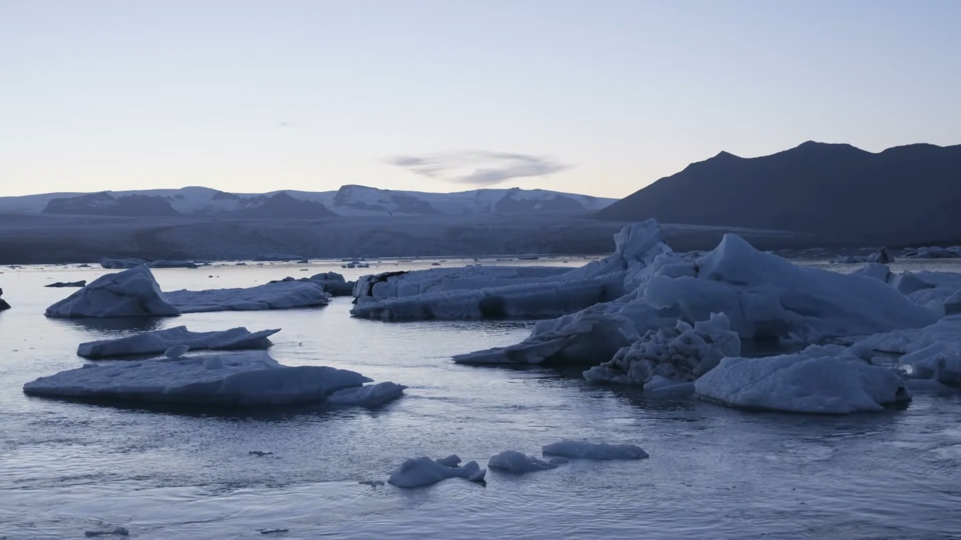
During the Pleistocene, there were several major glaciation periods, each lasting around 100,000 years and separated by warmer interglacial periods. The most recent and significant of these glaciations, the Wisconsin Glaciation, began around 75,000 years ago and reached its peak around 20,000 years ago. Massive ice sheets, sometimes more than a mile thick, advanced southward from the Arctic, covering large parts of North America and dramatically altering the landscape.
Glacial Movements and Formation
Advance and Retreat of Glaciers
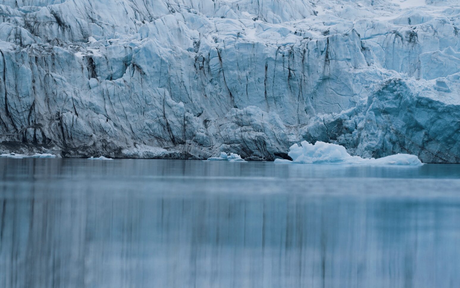
The glaciers of the Pleistocene Epoch advanced and retreated multiple times, each cycle reshaping the landscape in profound ways. As these glaciers moved southward, they acted as immense bulldozers, scraping away soil and rock and carving out deep valleys and basins. The glaciers carried with them enormous quantities of rock debris, which acted as an abrasive force, deepening and widening the basins that would eventually become the Great Lakes.
The retreat of the glaciers was equally significant. As the climate warmed, the ice sheets melted, releasing vast amounts of water that filled the basins and created large proglacial lakes. These early lakes often merged and overflowed, further modifying the landscape and establishing drainage patterns that persist to this day.
Formation of Basins
The basins that now hold the Great Lakes were primarily formed by glacial erosion. As the glaciers advanced, they gouged out deep troughs in the bedrock, particularly in areas where the rock was softer and more easily eroded. This process created the deep basins that characterize the Great Lakes. For example, Lake Superior, the largest and deepest of the Great Lakes, reaches depths of up to 1,333 feet (406 meters) and is significantly shaped by glacial activity.
The glaciers also deposited vast amounts of sediment, including clay, sand, gravel, and boulders, known as glacial till. This further modified the landscape, filling in some areas and creating natural dams that influenced the flow of water and the formation of additional lakes and rivers.
Meltwater and Drainage
The melting of the glaciers released enormous volumes of water, which filled the newly formed basins and created large proglacial lakes. These lakes were often much larger than the present-day Great Lakes and played a crucial role in shaping the region’s hydrology. As the glaciers continued to retreat, the water levels fluctuated dramatically, sometimes by hundreds of feet, as natural drainage channels opened and closed.
One of the most significant of these proglacial lakes was Lake Agassiz, which covered parts of Manitoba, Ontario, Saskatchewan, North Dakota, and Minnesota. At its peak, Lake Agassiz was larger than all of the present-day Great Lakes combined, with an area of about 170,000 square miles (440,000 square kilometers). The drainage of Lake Agassiz into the basins of the Great Lakes significantly contributed to their formation and water volume.
Estimating the Timeline
Initial Glaciation
The initial stages of glaciation began about 2 to 3 million years ago, setting the groundwork for the formation of the Great Lakes. These early glaciations shaped the landscape by carving out deep valleys and creating the basins that would later fill with water. The repeated cycles of glaciation and melting over millions of years gradually deepened and widened these basins.
Major Glaciation Events
The most significant changes to the Great Lakes region occurred during the last 75,000 years, particularly during the Wisconsin Glaciation. This period saw the most substantial advances and retreats of glaciers, which were critical in forming the modern Great Lakes basins. The Wisconsin Glaciation involved multiple advances and retreats of ice sheets, each time reshaping the landscape and contributing to the formation of the lakes.
Formation of Modern Lakes
The final retreat of the glaciers, which began around 14,000 years ago and ended about 10,000 years ago, was crucial in shaping the current configuration of the Great Lakes. As the ice sheets melted, they released immense volumes of water, which filled the basins and formed the lakes. By around 7,000 to 10,000 years ago, the Great Lakes had largely taken on their present-day shapes and sizes.
During this period, the Great Lakes experienced significant fluctuations in water levels due to changing climate conditions and isostatic rebound, a process in which the Earth’s crust slowly rises after being compressed by the weight of the glaciers. These fluctuations caused the lakes to expand and contract, further shaping their shorelines and contributing to their modern configuration.
The Role of Glacial Lakes
Before the formation of the Great Lakes, several large proglacial lakes played a crucial role in shaping the region. These lakes formed in front of the retreating glaciers and were often much larger than the present-day lakes.
- Lake Agassiz: One of the largest proglacial lakes, Lake Agassiz covered parts of Manitoba, Ontario, Saskatchewan, North Dakota, and Minnesota. At its peak, Lake Agassiz was larger than all of the present-day Great Lakes combined, with an area of about 170,000 square miles (440,000 square kilometers). The drainage of Lake Agassiz into the Great Lakes basins significantly contributed to their formation and water volume.
- Lake Chicago: This proglacial lake occupied the southern end of what is now Lake Michigan. It formed around 14,000 years ago and was connected to Lake Agassiz through a series of drainage channels. Lake Chicago eventually drained into the Illinois River, contributing to the formation of the modern Lake Michigan.
These proglacial lakes were essential in shaping the hydrology and geology of the Great Lakes region. As the glaciers continued to retreat, these lakes drained, and their waters merged into the basins that would become the Great Lakes. The process of drainage and sediment deposition further modified the landscape, creating natural dams and altering the flow of rivers.
Modern-Day Great Lakes
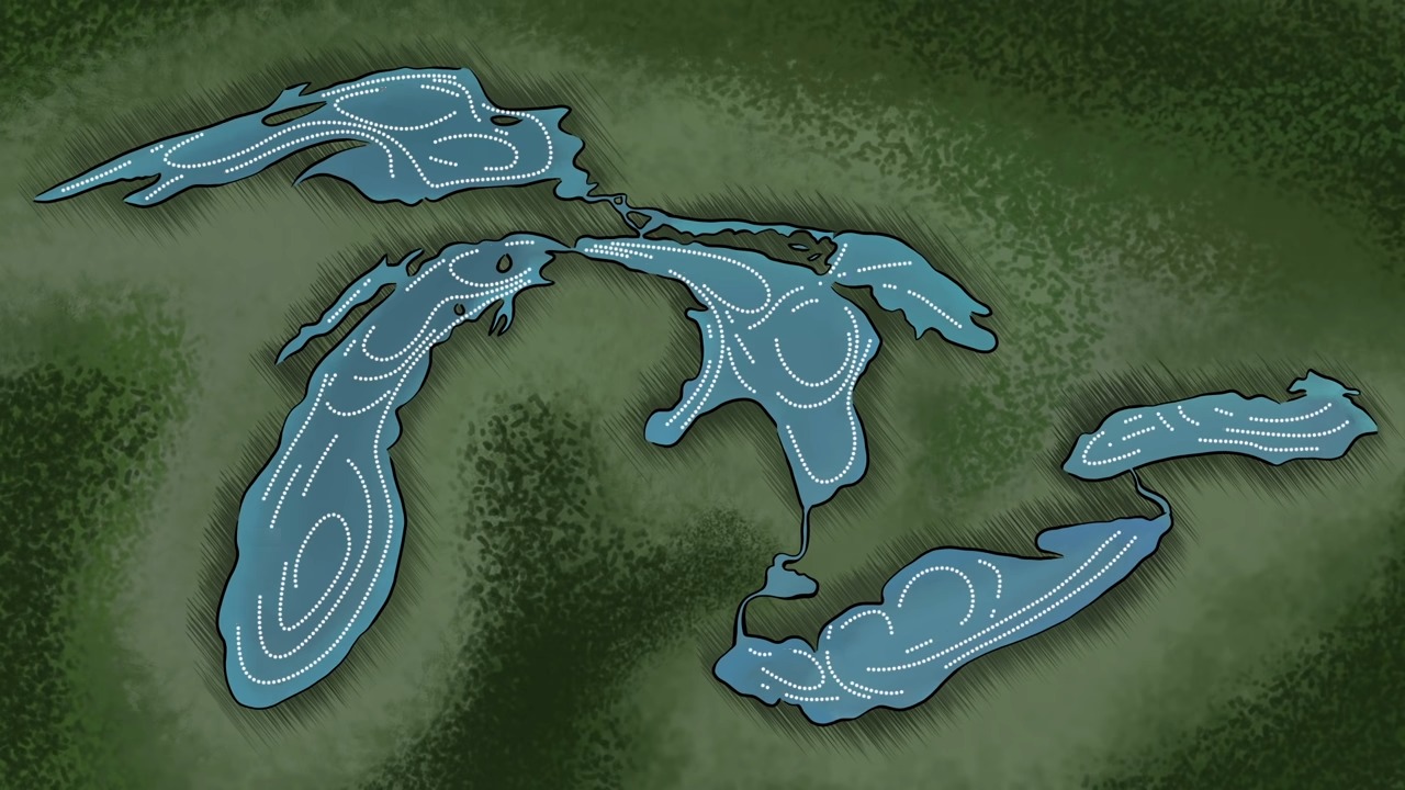
Today, the Great Lakes are a vital resource for both the United States and Canada. They hold about 20% of the world’s surface fresh water, making them the largest group of freshwater lakes by total area and volume. The Great Lakes are also crucial for transportation, commerce, recreation, and environmental health.
- Lake Superior: Covering an area of 31,700 square miles (82,100 square kilometers), Lake Superior is the largest and deepest of the Great Lakes. It contains more water than the other four Great Lakes combined, with a volume of 2,900 cubic miles (12,100 cubic kilometers). Lake Superior’s watershed supports diverse ecosystems and numerous communities.
- Lake Michigan: The only Great Lake entirely within the United States, Lake Michigan has an area of 22,400 square miles (58,000 square kilometers) and a volume of 1,180 cubic miles (4,918 cubic kilometers). Its shoreline is characterized by significant dune formations and extensive sandy beaches.
- Lake Huron: With an area of 23,000 square miles (59,600 square kilometers) and a volume of 850 cubic miles (3,540 cubic kilometers), Lake Huron is known for its complex shoreline and the presence of Manitoulin Island, the world’s largest freshwater island. Lake Huron’s watershed includes numerous wetlands and diverse habitats.
- Lake Erie: The shallowest and southernmost of the Great Lakes, Lake Erie has an area of 9,910 square miles (25,700 square kilometers) and a volume of 116 cubic miles (484 cubic kilometers). Its shallowness leads to rapid temperature changes and extensive winter ice cover. Lake Erie is also heavily impacted by agricultural runoff and urban development.
- Lake Ontario: The smallest by surface area, Lake Ontario covers 7,340 square miles (19,000 square kilometers) and has a volume of 393 cubic miles (1,639 cubic kilometers). It serves as the outlet to the Atlantic Ocean via the St. Lawrence River, playing a crucial role in the region’s hydrology and navigation.
Conclusion
The formation of the Great Lakes is a fascinating and complex geological story that spans millions of years. From the initial stages of glaciation during the Pleistocene Epoch to the dramatic advances and retreats of massive ice sheets, the process involved a series of dynamic and powerful natural forces. These glaciers carved out deep basins, deposited vast amounts of sediment, and created the conditions necessary for the Great Lakes to form.
As the glaciers melted, they released enormous volumes of water, which filled the newly formed basins and created large proglacial lakes. These lakes, including the massive Lake Agassiz, played a crucial role in shaping the hydrology and geography of the region. Over time, natural drainage systems developed, connecting these lakes and ultimately forming the interconnected system of the Great Lakes.